
Here at DiPrete, our professional land surveyors have a diverse portfolio of surveys – one in particular being Bathymetric surveys. These surveys are some of the most accurate for measuring the depth of lake or ocean floors by using underwater topography.
DiPrete works on a multitude of projects that require this information including dock design, pier expansion and repairs, beach erosion mitigation, dam repair, dam design, stream and lake maintenance.
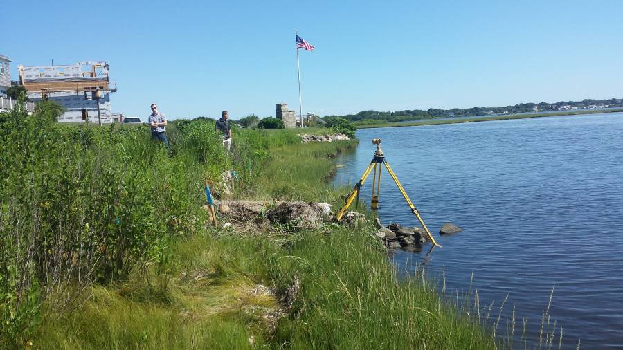
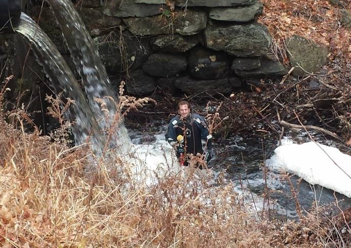
The firm uses three techniques for this work. In shallow water, a surveyor will wear waders and use a survey rod while a second surveyor works onshore with the survey instrument. In medium depth waters, a surveyor will wear a diving dry suit and use a flotation device and survey rod while the second surveyor stays onshore with the survey instrument. In deep waters, the firm uses a two person GPS survey team on a boat. “We utilize 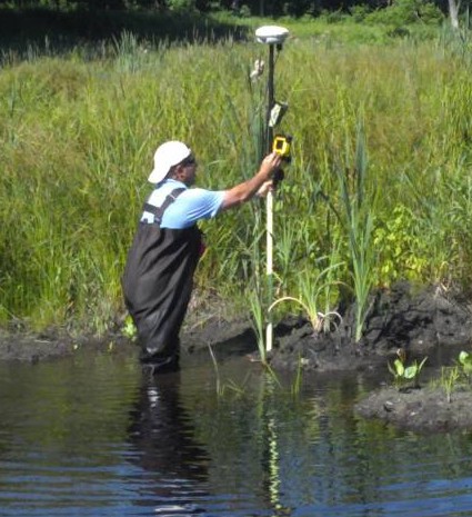 a sonar device that attaches to the GPS receiver,” said Bob Babcock, Land Surveying Department Manager. “The sonar echo returns a depth that is compiled with the GPS data to calculate the ocean or lake’s bottom elevation.”
Some specific projects that employed these techniques are Point Judith Breakwater repair, several dams in the Rhode Island and Massachusetts such as the Upper Wyoming Dam on the Wood River in Richmond and multiple dock designs along coastal Rhode Island.