
Land Surveying Services
Our survey department is made up of professional land surveyors, field technicians, and office support that employ robotic total stations, digital data collectors, GPS technology, and Autodesk Civil 3D. Our land surveying services include:
- Boundary Survey
- Topographic Survey
- Existing Conditions Survey
- Hydrographic Survey
- Flood Elevation Certificate Survey
- ALTA/NSPS Land Title Survey
- Construction Stakeout
- Utility Surveys
- Condominium Documents
- Wetland Flag Surveys
- Control for Aerial Photogrammetry
- ADA Compliance Survey
- Preconstruction and As-built Surveys
- Public Hearing Testimony for Boundary Disputes
- Property Line Survey
- Property Corner Stakeout
- Plot Plan
- Topographic and Existing Conditions Survey
- Tree Location Survey
- FEMA Elevation Certificates
- LOMA Map Changes
- Septic System Designs
- Stakeout of Fencing, Foundations, and Pools
- Wetland Flag Surveys
- Plans for Zoning Variances
- Parking Plans
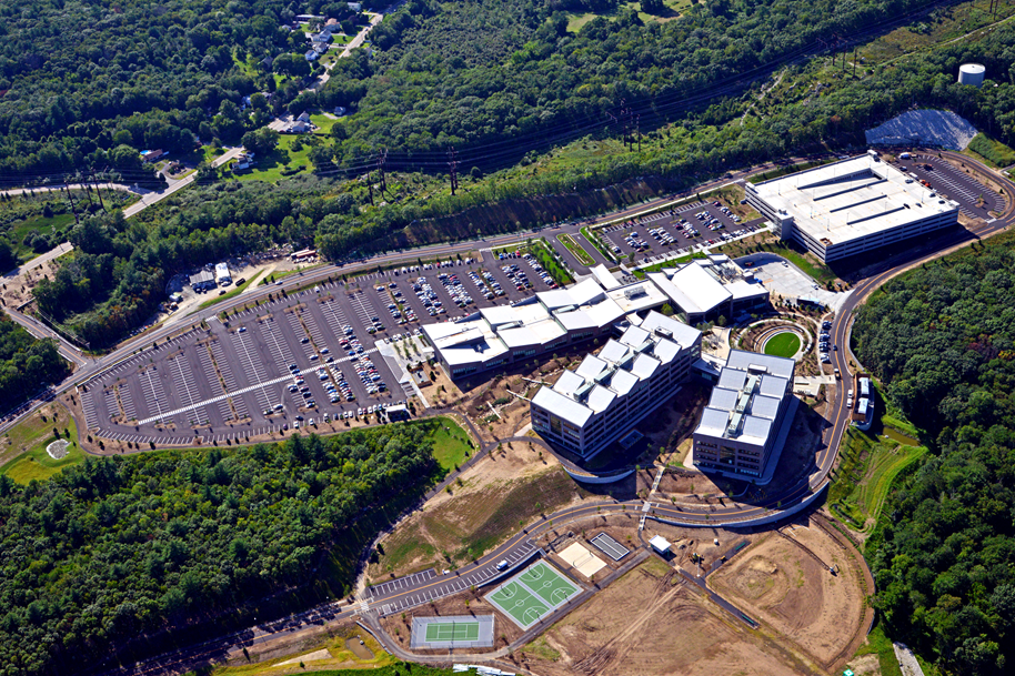
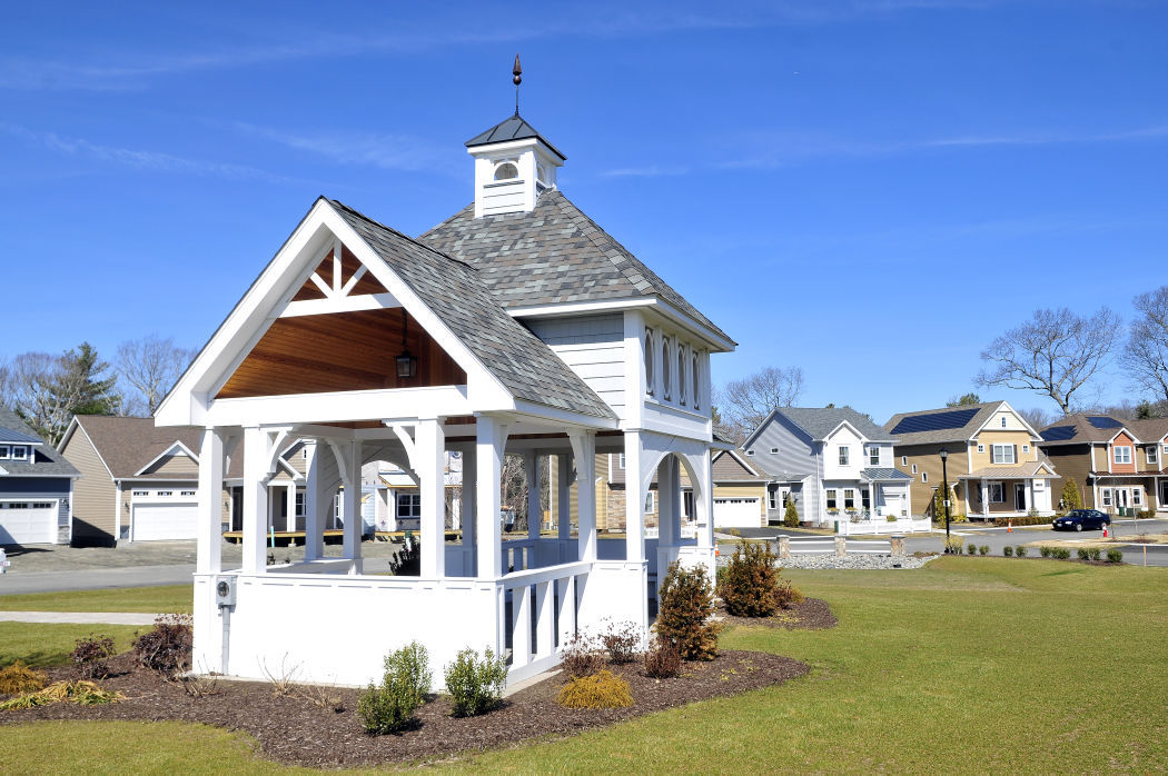
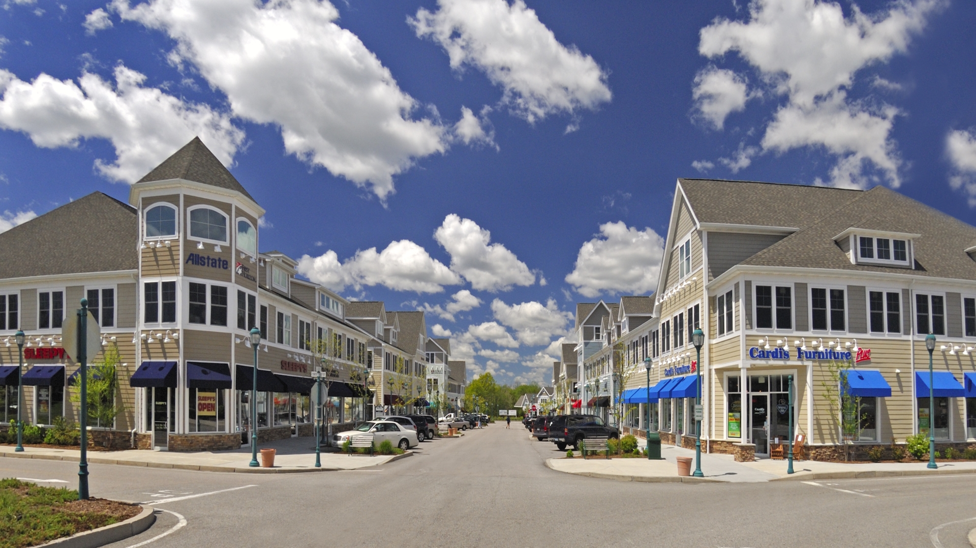
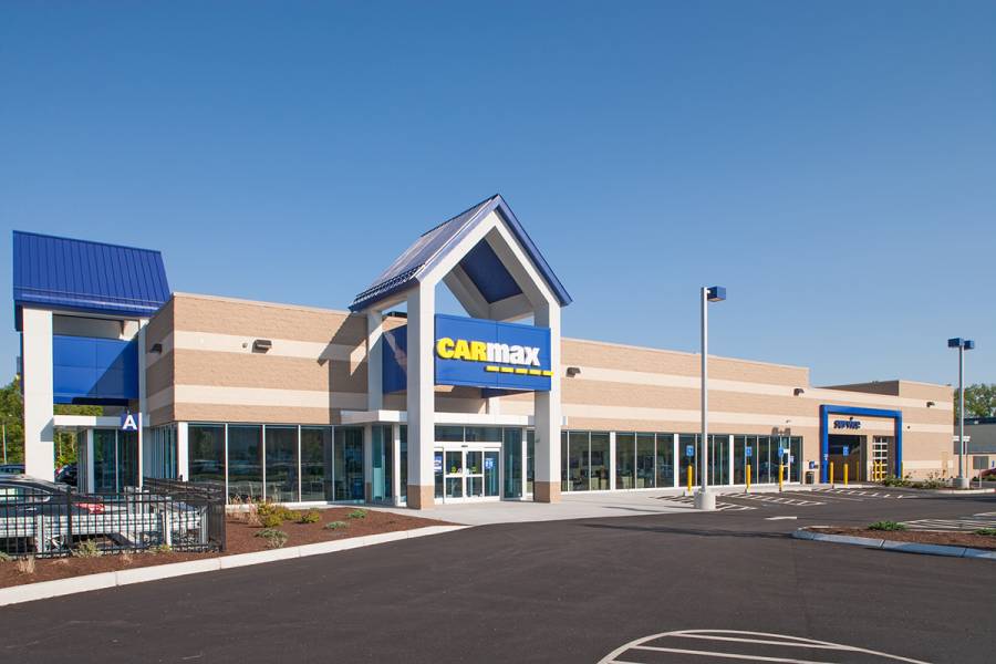
Recent Projects
To speak with someone about our land surveying services right away, please call us at: (781) 326-0021
DiPrete Engineering works across various industries. From residential to retail, DiPrete covers it all. These land surveying projects include but are not limited to:
-
Retail
-
Mixed Use
-
Office Parks
-
Institutional
-
Multifamily
-
Industrial